
Monday Weather: Wind Gusts to 50 mph, Rain and Snow for Southern Colorado
A cold front arrives midday, bringing sustained winds, precipitation, and a drop in temperatures across the region.
By Andrew Kovalenko ·
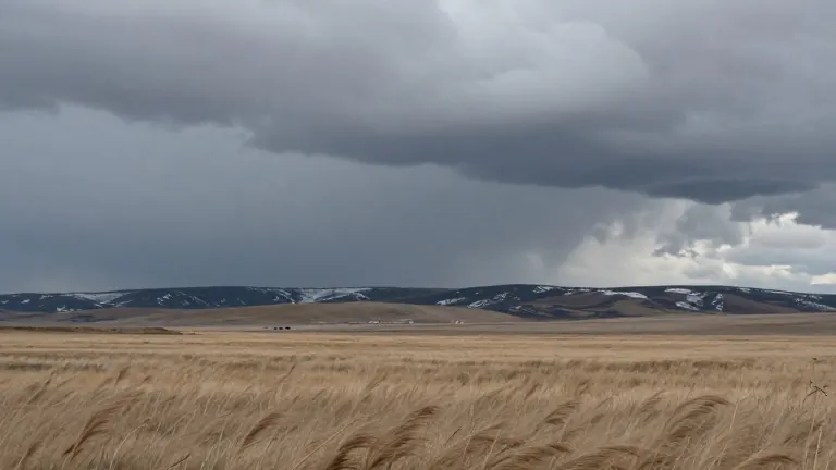
Southern Coloradans should expect a shift in conditions on Monday as a cold front moves through the region. The system arrives around 11:00 a.m. or noon, bringing rain, strong winds, and a noticeable drop in temperature. Residents in the Pikes Peak Region and eastern El Paso County will face the most intense gusts.
Wind speeds will rise sharply around midday. Sustained winds are forecast to reach 20 mph, but gusts in areas closer to eastern El Paso County may hit 40 to 50 mph. In Pueblo, wind gusts are expected between 30 and 40 mph. The eastern plains will see similar conditions, with some areas approaching 50 mph gusts.
Rain will accompany the wind throughout the afternoon. For Colorado Springs, precipitation is expected to begin in the late morning and continue into the early afternoon. Pueblo will see rain move in around noon, lasting through the afternoon. In the mountains, the precipitation will be a mix of rain and snow at higher elevations. The moisture is expected to clear out by late evening.
Temperatures will remain mild but will not reach summer highs. Colorado Springs is forecast to have a high of 53 degrees Fahrenheit and a low of 34 degrees. Pueblo will see a high of 59 degrees and a low of 38 degrees. Canon City is expected to reach 59 degrees, while Woodland Park will peak at 44 degrees. The Tri-Lakes area, including Monument, will see a high of 47 degrees. The eastern plains will reach the 60s, and the mountains will top out in the 40s and 50s.
Morning temperatures will start cooler before rising during the day. In Colorado Springs, lows in the 40s are expected this morning. Pueblo will also begin the day in the 40s. Woodland Park residents will see chilly mornings in the 20s and 30s before afternoon temperatures warm into the 50s. The Tri-Lakes area will start in the 40s.
The weather pattern will affect the southern portion of Interstate 25 as well. Walsenburg and Trinidad are forecast to have afternoon temperatures in the mid to upper 50s. Rain will push in during the early afternoon and continue throughout the day. Windy conditions are expected to persist into Tuesday in these areas.
Tuesday will bring clearer skies, but the wind will remain. High temperatures for the rest of the week are expected to change by only a degree or two. Another chance of rain is possible in the middle of the week, with increased precipitation chances on Wednesday evening. Sunny conditions are forecast for Thursday and the days following.
The extended outlook suggests a stable pattern after the initial disturbance. The weather service notes that the current low pressure system is exiting the state, allowing for a brief break before the next potential rain event. The mix of precipitation types will depend on elevation, with snow likely for higher terrain and rain for lower areas.