Southern Colorado Warms Before Storm
Mild highs in the 70s persist through Thursday, followed by a sharp drop in temperatures and heavy precipitation starting Sunday.
By Andrew Kovalenko ·
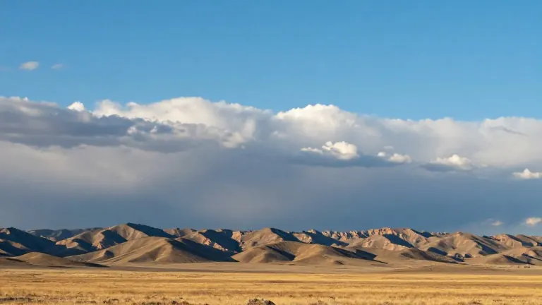
Southern Colorado experienced unseasonably warm conditions on Wednesday, with temperatures well above average across the Pikes Peak region and the eastern plains. The mild weather pattern is expected to hold until Thursday, after which a change in atmospheric conditions will bring a substantial shift in the local climate.
In Colorado Springs, the low temperature reached 40 degrees, while the high climbed to 68 degrees. The day featured a mix of sunshine and passing clouds, accompanied by light afternoon breezes. Nearby in Pueblo, conditions were slightly warmer, with a low of 40 degrees and a high of 71 degrees. Residents enjoyed plenty of sunshine mixed with mid-level cloudiness, and the area remained completely dry through the start of the workweek.
Canon City recorded a low of 41 degrees and a high of 69 degrees. Skies stayed mostly clear to partly cloudy, and a light southwesterly breeze picked up during the afternoon hours. At higher elevations in Woodland Park, the low was 32 degrees and the high reached approximately 60 degrees. The area saw pleasant conditions with a mix of sun and clouds, along with breezy winds over the higher peaks.
The mild spell will continue through Thursday, with lower-elevation highs remaining in the 60s and 70s. On Friday, subtropical moisture will move into the region. This moisture will bring scattered mountain rain showers and create a slight chance for a stray shower in far southeast Colorado. A weak ridge of high pressure will keep things mostly quiet on Saturday, maintaining mild temperatures while isolated showers occur over the higher terrain.
A significant change is forecast for Sunday through Tuesday. A sharp upper-level trough will drop in from the Pacific Northwest, bringing a strong storm system to the region. This system will introduce accumulating mountain snow and much colder temperatures. Rain and snow showers are expected to wrap around onto the eastern plains into early next week. Winds will ramp up late in the weekend and continue into the following days.