
Southern Colorado Braces for Weekend Snow and Rain After Mild Thursday
A pattern shift brings moisture and colder air to the Pikes Peak region starting Friday, with heavy mountain snow expected by Sunday.
By Andrew Kovalenko ·
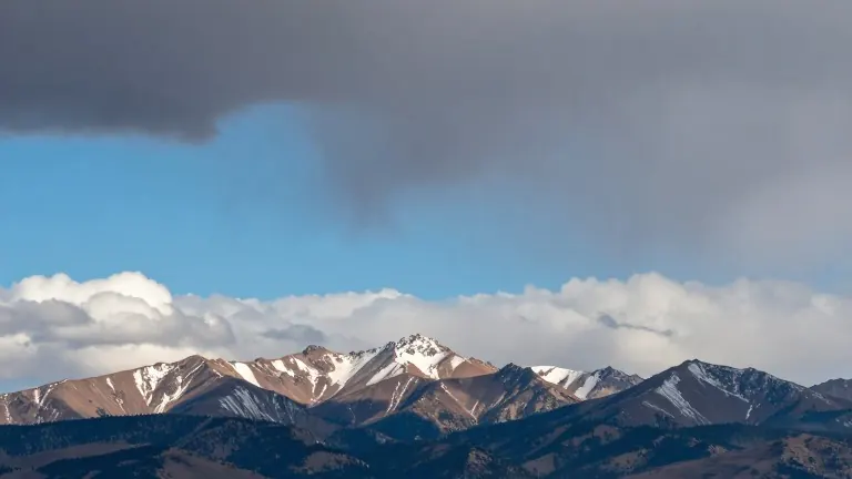
Southern Colorado residents can expect a mild and dry Thursday before a weather pattern shift delivers moisture, cooler temperatures, and mountain snow over the weekend and into next week. The National Weather Service office in Colorado Springs issued the update on Wednesday evening.
Current conditions remain quiet across the region with a dry westerly flow in place. Low to medium chances of locally dense fog exist for the eastern plains from late Wednesday night into early Thursday morning. Isolated showers or stray storms are possible near the far southeast border by Thursday afternoon. Low temperatures will reach the 20s in high mountain valleys and the 30s to lower 40s across the plains.
Specific forecasts for Thursday show mild highs across the Pikes Peak region. Colorado Springs is predicted to reach 64 degrees, while Pueblo will climb to 65 degrees. Canon City is expected to hit 68 degrees. Woodland Park will see cooler conditions with a high of 58 degrees. Skies will remain partly sunny with passing mid-to-high level clouds and light winds throughout the day.
By Friday, a deepening Pacific trough will send a surge of moisture toward western Colorado. A weak shortwave passing to the south may bring a chance of showers to the far southeast plains and light mountain showers. Southwest flow aloft will draw moist Pacific air across the region on Saturday, causing high elevation mountain showers to build through the day while lower elevations stay mild.
A more impactful storm system will take over from Sunday through Tuesday as an upper-level trough amplifies into the Four Corners. Heavy mountain snow and rainfall are expected to return to the Continental Divide and San Luis Valley. Snow is set to increase on Monday, with a chance for a wintry mix or rain/snow showers expanding into mountain valleys and adjacent plains as temperatures drop. Windy conditions will follow on the backside of this system.
Forecasters note that flooding potential remains low with this system. The shift marks the end of the dry, mild conditions that have characterized the start of the workweek.