
Sub-inch rain ends southern Colorado's wet spell before mid-60s return
Moisture exits the region by midnight, clearing the way for a drier, warmer stretch leading into Halloween.
By Amina Howard ·
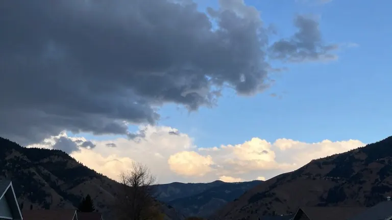
Southern Colorado faces a final round of showers and thunderstorms Sunday night, but the pattern breaks quickly. Forecasters expect the moisture to push east and northeast around midnight, leaving most communities with less than an inch of additional rainfall. This brief wet spell sets the stage for a sharp shift in conditions as the week begins.
The transition brings a rapid rebound in temperatures. Overnight lows will settle in the upper 30s and 40s, followed by sunshine and dry air. Highs are projected to reach the low 60s early in the week, with further warming expected by midweek. The extended outlook indicates that cloud cover will decrease significantly, allowing abundant sunshine to dominate the forecast.
Specific city forecasts illustrate the regional trend. In Colorado Springs, the low is expected to be 38, rising to a high of 61. Pueblo will see a low of 45 and a high of 64. Canon City is forecast for a low of 42 and a high of 62. In Woodland Park, temperatures will dip to 33 before climbing to 51, with highs described as average or above average for the start of the week.
The weather pattern remains stable through the middle and end of the week, with a quieter setup moving in. A few readings in the 70s may appear around midweek as the sunshine persists. The favorable conditions continue through Halloween, which is expected to feature mild temperatures and dry skies. The next opportunity for a weather change does not arrive until the second half of the coming weekend.
This brief period of rain serves as the final act before a sustained stretch of warmth. The data shows a clear trajectory from a soggy Sunday to a dry, sunny week. The lack of further moisture means residents can expect consistent temperatures with minimal fluctuation until the next system arrives.