Colorado Mountain Roads Face Up to 20 Inches of Snow by Thursday
Winter weather advisories cover ten counties as snowfall intensifies Wednesday afternoon, with the highest totals expected near Leadville and Breckenridge.
By Lucas Navarro ·
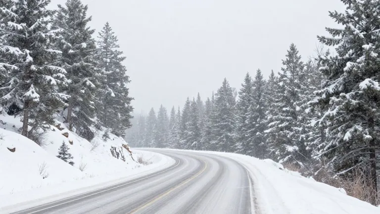
Drivers and residents in ten Colorado counties should expect winter weather conditions beginning at 2 p.m. Wednesday and lasting until 5 a.m. Thursday. The National Weather Service issued winter weather advisories for Boulder, Chaffee, Clear Creek, Eagle, Gilpin, Grand, Lake, Park, Pitkin, and Summit counties. Snowfall is expected to intensify Wednesday afternoon south of Interstate 70 and continue overnight.
Forecasters predict the heaviest accumulation will occur in the highest elevation areas. Up to 20 inches of snow are possible on Colorado 91's Fremont Pass near Leadville and Colorado 9's Hoosier Pass near Breckenridge. Leadville is forecast to receive 6 inches, with totals potentially reaching 18 inches. Fairplay expects 6 inches, with a possible high of 15 inches.
Major mountain highways will see varying amounts of snow. Vail Pass on Interstate 70 is expected to receive 5 inches, with possible totals of 14 inches. Loveland Pass on U.S. 6 and Monarch Pass on U.S. 50 near Gunnison are forecast to get 4 inches, with highs of 8 inches. The Eisenhower-Johnson Memorial Tunnel is expected to see 4 inches, with possible totals of 6 inches.
Lower elevation communities will receive lighter snowfall. Aspen expects 2 inches, with possible totals of 6 inches. Georgetown and Woodland Park are forecast to receive 2 inches, with possible highs of 4 inches. Conifer is expected to see 1 inch, with totals potentially reaching 2 inches. Rain is forecast for Colorado's valleys.
Regional totals range from 3 to 10 inches in the Summit County and Mosquito Range mountains. The Sawatch Mountains are expected to receive 4 to 9 inches. The Gore and Elk Mountains are forecast to see 4 to 8 inches. Keystone Ski Area Summit is expected to receive 4 inches, with possible totals of 5 inches. Breckenridge is forecast to get 5 inches, with possible highs of 8 inches.