
Storm system brings rain and possible snow to Maryland by Friday
Baltimore residents will see temperatures drop from the 60s to the 40s as wet weather arrives later this week.
By Andrew Kovalenko ·
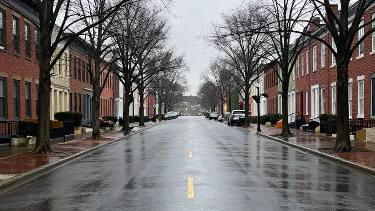
Maryland’s weather will shift from sunny and cool to cold and wet by the end of this workweek. A storm system is approaching the region, bringing a noticeable temperature drop and the chance of precipitation. The change begins Thursday and continues into Friday.
The first major shift occurs Monday. A push of cooler air will make the day sunny but breezy. Temperatures across the area will peak in the upper 50s and lower 60s. Winds may gust up to 30 MPH. By 8 p.m., temperatures will fall into the 40s. Many areas will reach the mid to upper 30s by sunrise Tuesday.
Tuesday will be the warmest day of the week. Afternoon temperatures will rise to the mid and upper 60s. Wednesday will also stay pleasant with lots of sunshine and highs in the mid-60s. This mild stretch ends when the storm system arrives.
Thursday marks the start of the colder weather. Temperatures will drop noticeably, and the chance of wet weather will increase. Light rain and drizzle are expected to start as early as midday. The rain will likely continue into Friday. In far northern and western Maryland, some wintry weather could mix with the rain from Friday into Saturday.
The first measurable snow of the season is possible on the highest elevations in western Maryland. Baltimore is most likely to see cold rain, though forecasters note that alterations to the pattern are still possible. Overnight lows Thursday and Friday will sit in the upper 20s and lower 30s. Afternoon highs will range from the 40s to the lower 50s.
The forecast dries out as the new workweek begins. The weather team is monitoring updated data to adjust predictions as the week progresses. Residents should prepare for a chilly weekend with clear skies and light breezes before the mid-week warmup.